Inquiry Tools
 Toolbar : Inquiry Tools
Menu : GeoTools -> Inquiry -> Compute center of gravity  CmdLine : GT_CGRAV
This command computes center of gravity of masses. The objects that you select should be polyline objects and they should define closed areas. The coordinates of the center of gravity are printed on screen and a point object is created at the CG location.
Toolbar : Inquiry Tools 
Menu : GeoTools -> Inquiry -> Display Drawing Statistics CmdLine : GT_DWG_STAT
GT_DWG_STAT gives detailed statistics of the current drawing.
Toolbar : Inquiry Tools 
Menu : GeoTools -> Inquiry -> Display horizontal and vertical projected distances CmdLine : GT_DXY
The GT_DXY command is an extension to the DIST command. In addition to the information given by the DIST command, GT_DXY also displays the horizontal projected distance between the two picked points, in case of 3D points.
Note: GT_DXY command is by default not enabled. To enable it, type CP_DEFMACROS at the command prompt.
Toolbar : Inquiry Tools 
Menu : GeoTools -> Inquiry -> Island area detection CmdLine : GT_ISLANDAREA
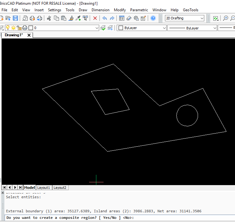
The GT_ISLANDAREA command returns the area of the largest closed polygon minus the area of all polygons found inside it. It is a quick island area calculator command, which can scan only one level of embedded islands. You need to ensure not select islands within islands -or- two sets of islands. The command assumes that you are working only with one set of island data.